-40%
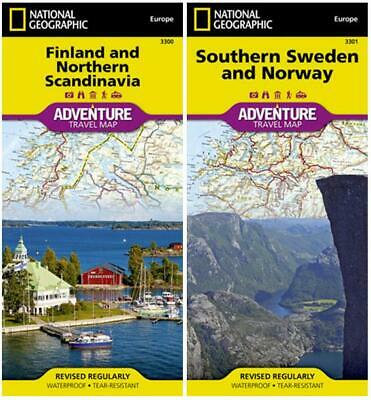
Scandinavia Adventure Travel Map Pack Norway Sweden Finland National Geographic
$ 13.17
- Description
- Size Guide
Description
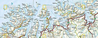
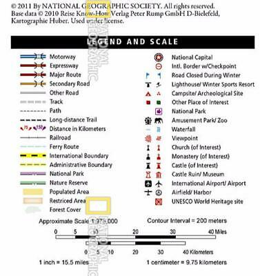
These maps differ from traditional road maps because they include hundreds of points of interest that highlight diverse and unique recreational, ecological, cultural and historic destinations. The maps include the locations of cities and towns with a user-friendly index, plus a clearly marked road network complete with distances and designations for major highways, main roads, and tracks and trails for those seeking to explore more remote regions. Each map printed two sides on syntheticwaterproof, tear-resistant
material, 25" x 38", folded to a handy 4" x 9".
Northern Map - Finland & Northern Norway & Sweden
The southern half of the region is shown on the front side of the map spanning from Finland's southern tip to the city of Rovaniemi in the north. Sweden's eastern coast is included from the city of Umea north to Jokkmokk. The reverse side of the map covers the northern half of the region from Norway's island of Vega north to the far reaches of its Norwegian and Barents Sea coasts. Northern Sweden is shown from Hemavan to the country's northern borders with Norway and Finland. The northern portion of Finland is included from Salla to the border with Norway.
Southern Map - Southern Norway & Sweden
The northern half of the region is shown on the front side of the map spanning from the counties of Nordland to Hordaland in Norway and Norbotten to Kopparberg in Sweden. The reverse side of the map covers the southern portion of Norway from Bergen south to include the cities of Stavanger, Oslo, and Kristiansand. It also shows the southernmost section of Sweden from the city of Mälmo on its border with Denmark north to Borlänge.
MSRP .90
Watermarks on images do not appear on the actual maps.
